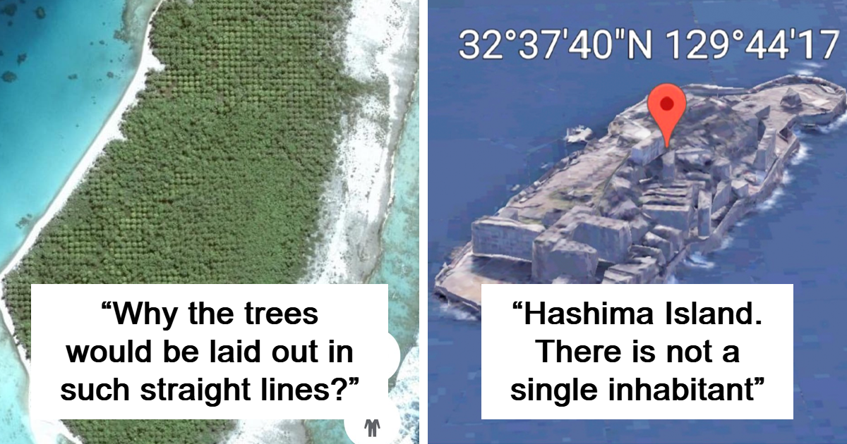
Google Earth is supposedly a mapping tool. In practice, it is also a global-scale curiosity cabinet, archaeological assistant, geology textbook, shipwreck catalog, and highly effective destroyer of free time.
One moment you are checking the distance between two cities. The next, you are staring at an enormous eye in the Sahara, a guitar made from thousands of trees, or a cargo ship stranded in the desert. Three hours disappear, your coffee goes cold, and you have somehow developed strong opinions about ancient Jordanian stone circles.
The discoveries below include genuine archaeological finds, natural formations, modern land art, abandoned machinery, and satellite-image oddities. Some were first identified through Google Earth, while others became famous because satellite imagery finally showed their full shape. A few looked mysterious at first but later received wonderfully ordinary explanationsbecause “dense trees” is usually more plausible than “interdimensional portal.”
Ancient Shapes That Make More Sense From the Sky
-
The Nazca Hummingbird in Peru
Scraped into the Peruvian desert, this delicate bird stretches across the landscape with remarkably straight lines. From ground level, it is mostly dusty confusion. From above, it becomes unmistakable.
-
The Nazca Spider
Another famous Nazca geoglyph depicts a long-legged spider. Its precision is especially impressive considering that its creators had no drones, satellites, or convenient “undo” button.
-
The Nazca Monkey
The monkey is recognizable by its curled tail and oddly charming proportions. Like other Nazca figures, it was formed by removing darker surface stones to expose lighter ground beneath.
-
The Paracas Candelabra
Carved into a hillside overlooking Peru’s Pisco Bay, this enormous three-pronged symbol resembles a candlestick, cactus, or trident. Its original purpose remains uncertain.
-
The Atacama Giant in Chile
This prehistoric human-shaped geoglyph stands on a desert hillside and measures roughly 390 feet from head to toe. Researchers have proposed ceremonial and astronomical interpretations.
-
The Blythe Intaglios in California
Near the California-Arizona border, giant human and animal figures were created by clearing desert pavement. They are difficult to understand on foot but strikingly clear from the air.
-
Kazakhstan’s Steppe Squares and Crosses
A Google Earth user noticed huge geometric earthworks scattered across northern Kazakhstan. Some consist of carefully arranged mounds forming squares, circles, and crosses hundreds of feet wide.
-
The Three-Armed Steppe Symbol
One Kazakh earthwork has a rotating, three-armed design sometimes described as swastika-like. The ancient symbol predates its modern political associations by many centuries.
-
The Kazakhstan Pentagram
A giant five-pointed star beside the Upper Tobol Reservoir fueled dramatic online theories. Its lines are actually roads and landscaping associated with a Soviet-era park.
-
The Ancient Wheels of Jordan
Stone circles with internal spokes cover parts of Jordan’s Azraq Oasis. Some may be thousands of years old, and several appear aligned with the winter-solstice sunrise.
-
Saudi Arabia’s Bull’s-Eye Wheels
Similar stone structures in Saudi Arabia contain concentric circles and spoke-like lines. Their exact functions remain debated, but they certainly resemble something designed for a planet-sized dartboard.
-
The Stone Gates of Harrat Khaybar
Researchers using Google Earth documented hundreds of long, low stone structures across volcanic fields in Saudi Arabia. Some may be around 7,000 years old.
-
Desert Kites Across the Middle East
Long stone walls converge into enclosed areas shaped like kites. Archaeologists generally interpret many of them as large systems used to funnel and trap wild animals.
-
The Hidden Monument at Petra
Satellite imagery helped archaeologists identify an enormous platform near Petra’s city center. Its size and position suggest that a major ancient monument had been hiding in plain sight.
-
Japan’s Keyhole-Shaped Tombs
Large kofun burial mounds appear as green keyholes surrounded by moats. Their elegant geometry is difficult to appreciate from nearby streets but impossible to miss from above.
Natural Formations That Look Deliberately Designed
-
The Badlands Guardian in Canada
Erosion shaped Alberta’s hills into what resembles a human profile wearing a headdress. A nearby road and oil installation even look like earphones.
-
The Eye of the Sahara
Mauritania’s Richat Structure forms enormous concentric rings visible from space. Once suspected to be an impact crater, it is now understood as an uplifted and heavily eroded geological dome.
-
Vostok Island’s “Black Hole”
This small Pacific island appears nearly black in some satellite images. It is not censored; its exceptionally dense Pisonia forest simply absorbs light and creates a dramatic contrast.
-
An Island Inside a Lake Inside an Island
Taal Volcano in the Philippines offers a geographical nesting doll: an island in a crater lake, on an island in a larger lake, on the island of Luzon.
-
Australia’s Bubblegum-Pink Lake Hillier
Lake Hillier looks as though someone poured strawberry milk beside the blue ocean. Salt-loving microorganisms and algae contribute to its persistent pink coloration.
-
India’s Color-Changing Lonar Lake
This meteor-impact lake abruptly turned pink in 2020. Researchers linked the transformation to changing salinity and microorganisms thriving under unusual environmental conditions.
-
Utah’s Electric-Blue Potash Ponds
Near Moab, rectangular evaporation ponds glow bright blue against rusty desert rock. Dye is added to help the brine absorb sunlight and evaporate faster.
-
The Giant Polygons of Salar de Uyuni
Bolivia’s enormous salt flat develops repeating hexagonal patterns as mineral-rich brine evaporates. From above, the surface resembles a tiled floor designed by a very ambitious architect.
-
Croatia’s Heart-Shaped Island
Galešnjak became famous after satellite images revealed its near-perfect heart outline. Nature apparently understands both romance and destination marketing.
-
The “Lips” in Sudan
A pair of ridges in Sudan resembles enormous human lips when viewed from above. It is a classic example of pareidoliathe brain’s habit of finding familiar shapes in random terrain.
-
Nicaragua’s Volcanic Googly Eyes
Two neighboring crater lakes on the Chiltepe Peninsula resemble mismatched eyes staring into space. Different water colors make the face-like illusion even more convincing.
-
The Grand Canyon’s Mysterious Polka Dots
Satellite users noticed evenly spaced bare patches in vegetation north of the Grand Canyon. Researchers proposed that large red harvester-ant colonies created the unusual pattern.
-
Dark Cloud Vortices Behind Heard Island
Wind flowing around Heard Island’s volcanic peak can produce alternating atmospheric vortices. In dense cloud cover, the spinning gaps resemble a procession of dark holes.
-
Canada’s Ring-Shaped Manicouagan Reservoir
This enormous circular reservoir occupies part of an ancient impact structure in Quebec. Seen from orbit, it looks like a blue ring stamped onto the Canadian wilderness.
-
Belize’s Great Blue Hole
A vast marine sinkhole forms a dark blue circle within lighter Caribbean water. Its color difference reveals a sudden descent into depths of more than 400 feet.
-
The “Google Forest” of Mount Mabu
A biologist examining satellite imagery identified an unstudied rainforest on Mount Mabu in Mozambique. Later expeditions documented rare wildlife and species new to science.
-
The Isolated Rainforest on Mount Lico
Satellite images revealed another forest sitting atop a steep-sided mountain in Mozambique. Scientists later climbed the cliff to study its remarkably isolated ecosystem.
-
The Uhaachatik Impact Crater
An amateur astronomer planning a Canadian camping trip noticed a suspiciously circular depression on digital maps. Field evidence later confirmed it as an ancient meteor-impact structure.
-
The Phantom Sandy Island
Maps showed a Manhattan-sized island near New Caledonia, and Google Earth displayed a dark polygon. Researchers sailed to the coordinates in 2012 and found only open ocean.
-
Brazil’s Dune-and-Lagoon Mosaic
Seasonal rainwater collects between the white dunes of Lençóis Maranhenses, creating thousands of blue and green pools. Satellite views make the landscape resemble rippling silk.
Human Creations Built for an Aerial Audience
-
The Mysterious Marree Man
This enormous Australian geoglyph depicts a hunter holding a throwing tool. It appeared in 1998, but its creator has never been conclusively identified.
-
Egypt’s Desert Breath
Two interlocking spirals were carved into the desert near the Red Sea. The installation covers a vast area and was designed to change slowly through erosion.
-
Argentina’s Guitar-Shaped Forest
Farmer Pedro Ureta and his children planted thousands of trees in the shape of a guitar as a tribute to his late wife, Graciela.
-
Italy’s Giant Pink Rabbit
An art collective placed a roughly 200-foot stuffed rabbit on a mountainside in 2005. Historical satellite images preserve the wonderfully absurd sight as the fabric gradually decomposed.
-
Palm Jumeirah in Dubai
This artificial archipelago forms a palm tree surrounded by a crescent-shaped breakwater. Its complete design is far clearer from the sky than from its luxury hotels.
-
Dubai’s Map of the World
Nearby artificial islands were arranged to resemble Earth’s continents. Construction and erosion challenges have changed the project, but the global outline remains visible.
-
The Star Fort of Bourtange
This restored Dutch fortress has sharp geometric bastions radiating from its center. Google Earth makes its defensive design look more like a decorative snowflake.
-
The Coca-Cola Logo in Chile
A massive hillside logo near Arica was assembled from tens of thousands of bottles. It is advertising on a scale that politely declines to fit on a billboard.
-
The Firefox Crop Circle in Oregon
In 2006, volunteers flattened part of an oat field into a giant Firefox logo. The temporary artwork survives through archived aerial and satellite imagery.
-
Cold War Calibration Crosses in Arizona
Concrete cross-shaped targets near Casa Grande were built to test and calibrate aerial-imaging systems. From above, they resemble clues from an extremely slow treasure hunt.
-
The Davis-Monthan Aircraft Boneyard
Thousands of retired military aircraft sit in orderly rows outside Tucson. Arizona’s dry climate slows corrosion, turning the facility into a surreal metallic city.
-
China’s Enormous Gobi Desert Grids
White lines and geometric networks in the Gobi Desert triggered online speculation. Analysts generally connect many of them to military testing or satellite-camera calibration.
-
The Wreck of the SS Jassim
A rusting cargo ship lies across Wingate Reef near Port Sudan. Its pale hull contrasts sharply with the dark water, making the wreck easy to identify from above.
-
The SS City of Adelaide
This 19th-century steamship ran aground near Australia’s Magnetic Island in 1916. Vegetation now grows through the wreck, creating what looks like a floating forest.
-
The Eduard Bohlen Stranded in the Namib Desert
This German cargo ship ran aground along Namibia’s coast in 1909. As the shoreline shifted, the wreck became stranded hundreds of yards inlanda ship marooned by geology.
Why Google Earth Produces So Many Strange Discoveries
Google Earth combines satellite photographs, aircraft imagery, elevation data, and images captured at different times. The result is a detailed but imperfect mosaic rather than a continuous live video of the planet.
That distinction explains many apparent mysteries. A dark patch may be dense vegetation. A broken road may be a seam between photographs. A strangely colored lake may have been captured during an algal bloom. A “submerged city” might be sonar data arranged into lines by the software.
Human perception adds another layer. Our brains are extremely good at detecting faces, animals, letters, and symbolseven when those shapes formed accidentally. This tendency, called pareidolia, turns eroded valleys into guardians and volcanic lakes into googly eyes.
Yet satellite exploration is not merely entertainment. Archaeologists use remote sensing to locate monuments, track looting, study ancient waterways, and plan field surveys. Ecologists can identify isolated habitats. Geologists examine impact structures, volcanic features, and changing coastlines. What begins as casual zooming can lead to genuine scientific questions.
The Armchair Explorer Experience: What Happens When You Start Zooming
You Learn to Look Twice
The first lesson of exploring Google Earth is that the initial explanation is rarely the best one. A black island looks censored until you inspect other images and discover a forest. A giant pentagram looks sinister until historical context reveals old roads. A bright blue rectangle in the desert seems unnatural because it is unnaturalbut it is an evaporation pond, not a secret swimming pool for billionaires.
A good explorer pauses before naming a discovery. Rotate the view, change the zoom level, inspect neighboring terrain, and compare historical imagery when available. Shadows can transform ordinary hills into enormous faces. Clouds can hide roads or create shapes that disappear in the next image. Seasonal vegetation may turn a field from brown to vivid green.
Historical Imagery Becomes a Time Machine
One of the most satisfying experiences is moving backward through archived images. Cities spread outward. Rivers change course. Shipwrecks deteriorate. Temporary artworks appear and vanish. Construction projects emerge from empty ground one road at a time.
The process changes how you think about maps. A paper map feels finished, but satellite imagery reveals that landscapes are always being edited. Coastlines retreat, forests shrink or recover, reservoirs fill, and desert installations slowly dissolve. Even a giant pink rabbit eventually loses its battle with weather.
You Begin Recognizing Humanity’s Geometric Obsession
From above, people seem incapable of leaving the planet alone. We build circles, grids, stars, spirals, palms, crosses, runways, and giant logos. Agricultural fields form patchwork quilts. highway interchanges resemble tangled noodles. Residential developments produce repeating loops that would make a geometry teacher emotional.
Ancient builders shared the same instinct. The Nazca Lines, desert kites, burial mounds, and steppe geoglyphs demonstrate that large-scale landscape design existed long before satellite cameras. Some structures were practical; others were ceremonial. Many probably served several purposes that modern viewers can no longer separate.
Curiosity Needs a Reality Check
The best Google Earth experience balances wonder with skepticism. Coordinates posted online are often mislabeled. Old screenshots may no longer match current imagery. Viral videos sometimes rotate, recolor, or crop images to make ordinary features seem ominous.
Before accepting a dramatic claim, look for scientific surveys, government records, archaeological publications, or reporting from established organizations. Check whether the feature has a known local name. Remember that residents may have understood a place for generations before an internet user “discovered” it from a laptop.
The Planet Becomes Both Larger and Smaller
After visiting fifty strange locations digitally, Earth feels more accessiblebut also far more complicated. You can cross from Chile to Kazakhstan in seconds, yet every zoom reveals another valley, wreck, village, or unexplained outline.
That is the real pleasure of Google Earth. It does not make exploration obsolete. It creates new reasons to explore. The map becomes an invitation to investigate geology, history, ecology, engineering, and the occasional decomposing mountain rabbit.
Conclusion
The oddest Google Earth discoveries are fascinating because they blur the boundary between accident and intention. Wind creates a face. Ancient communities draw figures that survive for centuries. Modern artists plant forests, carve spirals, and build islands shaped like maps. Ships become desert monuments, while outdated cartographic errors create islands that never existed.
Google Earth gives everyone an aerial perspective once reserved for pilots, scientists, and governments. Most users will not uncover a lost civilization during a lunch break, but they may encounter something that encourages them to research a culture, landscape, or scientific process they had never considered before.
Note: Satellite imagery is updated at different times and may vary by location. Some temporary artworks, deteriorating wrecks, altered landscapes, or older image anomalies may be clearest when historical imagery is available. The factual descriptions in this article were synthesized from documented material published by organizations including Google, NASA, the USGS, the Smithsonian Institution, Live Science, Popular Mechanics, Atlas Obscura, National Geographic, UNESCO, and other established scientific and historical references.